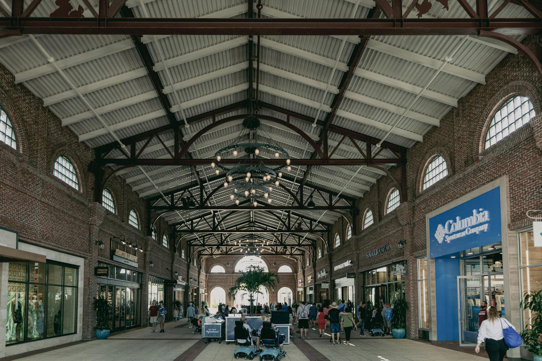
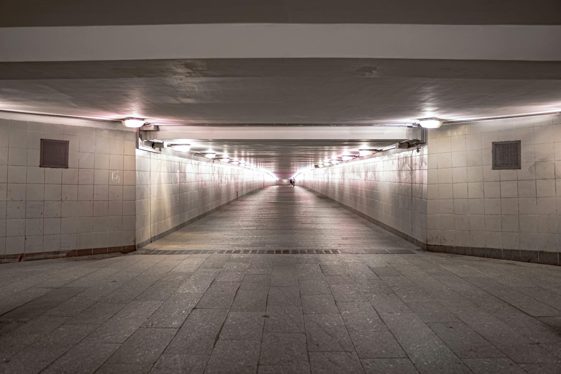
The Toronto PATH underground network is the world’s largest underground pedestrian shopping complex, certified by Guinness World Records at 30 km of climate-controlled walkways linking 75+ buildings, six TTC subway stations, three regional GO/UP Express hubs, 1,200+ retailers, and roughly 200,000 daily commuters. The PATH spans the entire downtown core from Union Station in the south to Atrium on Bay in the north, and connects almost every major office tower, hotel, mall, and entertainment venue along the way. For tourists, the Toronto PATH underground is a winter survival tool, a rainy-day attraction, and an architecturally fascinating piece of urban planning. This guide walks through the layout, the must-see PATH segments, the best food halls and shopping, and how to use the colour-coded “PATH” signage to navigate without getting lost.
Why the Toronto PATH underground exists
The PATH started in 1900 with a single tunnel under Yonge Street connecting the Eaton’s department store to its Annex; expanded slowly through the 1970s as office towers were built; and exploded in the 1980s when the city formalized the network with shared signage and a unified branding. Today’s PATH is owned not by a single entity but by a coalition of office-tower landlords (Brookfield, Cadillac Fairview, Oxford, Manulife) who maintain their respective sections. The City of Toronto coordinates signage and policy.
The PATH carries roughly 200,000 commuters per weekday, generates an estimated $1.7 billion in annual retail sales, and is responsible for keeping much of the downtown core productive during Toronto’s harsh winters and humid summers. Few other cities — Montreal’s RÉSO and Hong Kong’s elevated walkway system are the closest comparisons — operate anything similar at this scale.
Toronto PATH underground basics: how it works
The colour-coded “PATH” signage
Look for the distinctive multi-coloured “PATH” wayfinding signs at every major intersection of the network. The four letters of “PATH” are colour-coded by direction: P (red) = south, A (orange) = west, T (blue) = north, H (yellow) = east. Once you’ve seen this once, the entire network becomes navigable: just follow the colour matching your destination’s direction.
Hours
The Toronto PATH underground is open Monday–Friday 6am–8pm, Saturday 9am–6pm, with most hotels and a few connector segments staying open later. Sunday access is limited — many of the office-building connectors close, leaving only the Toronto Eaton Centre, Brookfield Place, and Union Station segments open. Bars and restaurants in the PATH have their own (usually shorter) hours.
Free maps
Pick up a paper PATH map at any of the major hotel concierge desks, the City Hall information desk, or the Union Station traveller information centre. The interactive online map at toronto.ca/path is more navigable than Google Maps, which often gives surface-level directions for what is actually a PATH-network walk.
Toronto PATH underground key destinations
Union Station: the southern hub
Toronto’s transportation gateway sits at the south end of the Toronto PATH underground network. Union Station’s $800M+ renovation (completed 2021) restored the 1927 Beaux-Arts Great Hall and added the Union Station Food Court — a curated 30+ vendor market on the lower concourse with options from Souvla (Greek), Tachal (Filipino), and Toronto’s beloved Pi Co. pizza. The station connects to TTC Line 1 (Yonge-University), GO Train regional service, the UP Express to Pearson Airport, the Toronto Coach Terminal, and the Air Canada Centre / Scotiabank Arena.
Brookfield Place: the architectural masterpiece
Brookfield Place (181 Bay Street) houses the most spectacular section of the Toronto PATH underground — the Allen Lambert Galleria, an 18,000 sq ft 27-metre-tall barrel-vaulted glass atrium designed by Spanish architect Santiago Calatrava in 1992. The glass-and-steel structure is one of Toronto’s most-photographed interiors and a worthy stop on its own. Brookfield Place also houses the Toronto’s Hockey Hall of Fame (in the historic 1885 Bank of Montreal building) and a small but excellent food court.
Royal Bank Plaza
The Royal Bank Plaza (200 Bay Street) is the gold-glass tower complex visible from much of the city — the building’s exterior contains 71 kg (156 lb) of pure gold bonded to the windows. The PATH connects through its lower concourse, which has banking, drugstores, and a quiet espresso bar.
The Eaton Centre and surroundings
The northern end of the Toronto PATH underground reaches the Toronto Eaton Centre via Queen Subway Station and the Sheraton Centre Hotel. The Eaton Centre alone has 230+ retailers and the Urban Eatery food court.
Hudson’s Bay flagship
Connected to the Eaton Centre via an enclosed pedestrian bridge across Queen Street, Hudson’s Bay’s 7-floor downtown flagship is essentially the southern anchor of the upper PATH.
The Sheraton Centre and Hilton Toronto
Both major downtown hotels have direct Toronto PATH underground access — the Sheraton Centre at Queen and Bay (connecting directly to the Eaton Centre) and the Hilton Toronto at Adelaide and University.
Best food in the Toronto PATH underground
The PATH has more than 250 food retailers, ranging from quick-service to sit-down. Top picks:
Union Station Food Court (lower concourse)
The renovated Union Station Food Court is a destination in itself. Top vendors: Souvla (Greek lamb gyro), Tachal (Filipino), Pi Co. (custom pizza), Mandy’s Salads, Bibliogato (Italian), and Wahlburgers.
The Path at Yonge-Bay
Hidden under the Royal Bank Plaza, this small food hall has the city’s best PATH-underground sushi (Sushi Q) and the underrated Kanga Cooks Korean.
Brookfield Place
The lower-concourse food court at Brookfield Place is small but strong: The Yorkville (sandwiches), Marben in the PATH (a smaller sister to the King West restaurant), and Tim Hortons.
Adelaide Place / Commerce Court / TD Centre
The bank-tower complex food courts (Commerce Court North, TD Centre, First Canadian Place) have the largest concentration of weekday lunch options — the TD Centre Marche on the lower level is a Toronto institution since 1996.
Toronto PATH underground shopping
The Toronto PATH underground’s 1,200 retailers include extensive office-tower retail (drugstores, dry cleaners, alterations) but also some excellent destination stores:
Brookfield Place — Mountain Equipment Co-op (MEC), Indigo Books, Lululemon, Arc’teryx Toronto.
Royal Bank Plaza — small luxury watch shops, Indigo Express, Cole Haan.
Eaton Centre PATH connection — Hudson’s Bay underground entrance, Saks OFF 5TH lower level, Apple Store underground access.
Commerce Court North — Bonbonnière (small chocolate boutique), Tip Top Tailors (Toronto’s heritage menswear).
Toronto PATH underground walking routes
Union Station to Eaton Centre (3.5 km, 45 min)
The classic full-network walk: start at Union Station, head north under Front Street through Brookfield Place, continue through the Royal Bank Plaza, the TD Centre, First Canadian Place, the Sheraton Centre, and finally into the Eaton Centre via Queen Station. This is the PATH at its most useful — you can walk from one end of downtown to the other without seeing daylight.
Brookfield to Hockey Hall of Fame
From any TD Centre or Royal Bank PATH location, follow signs to Brookfield Place — the Hockey Hall of Fame entrance is on the lower level of Brookfield’s Bay Street side.
Union Station to Air Canada Centre / Scotiabank Arena
A short PATH connector runs underneath the railway tracks from Union Station’s south concourse directly to Scotiabank Arena’s main lobby — useful for Toronto Maple Leafs and Toronto Raptors game-day arrivals on bad-weather nights.
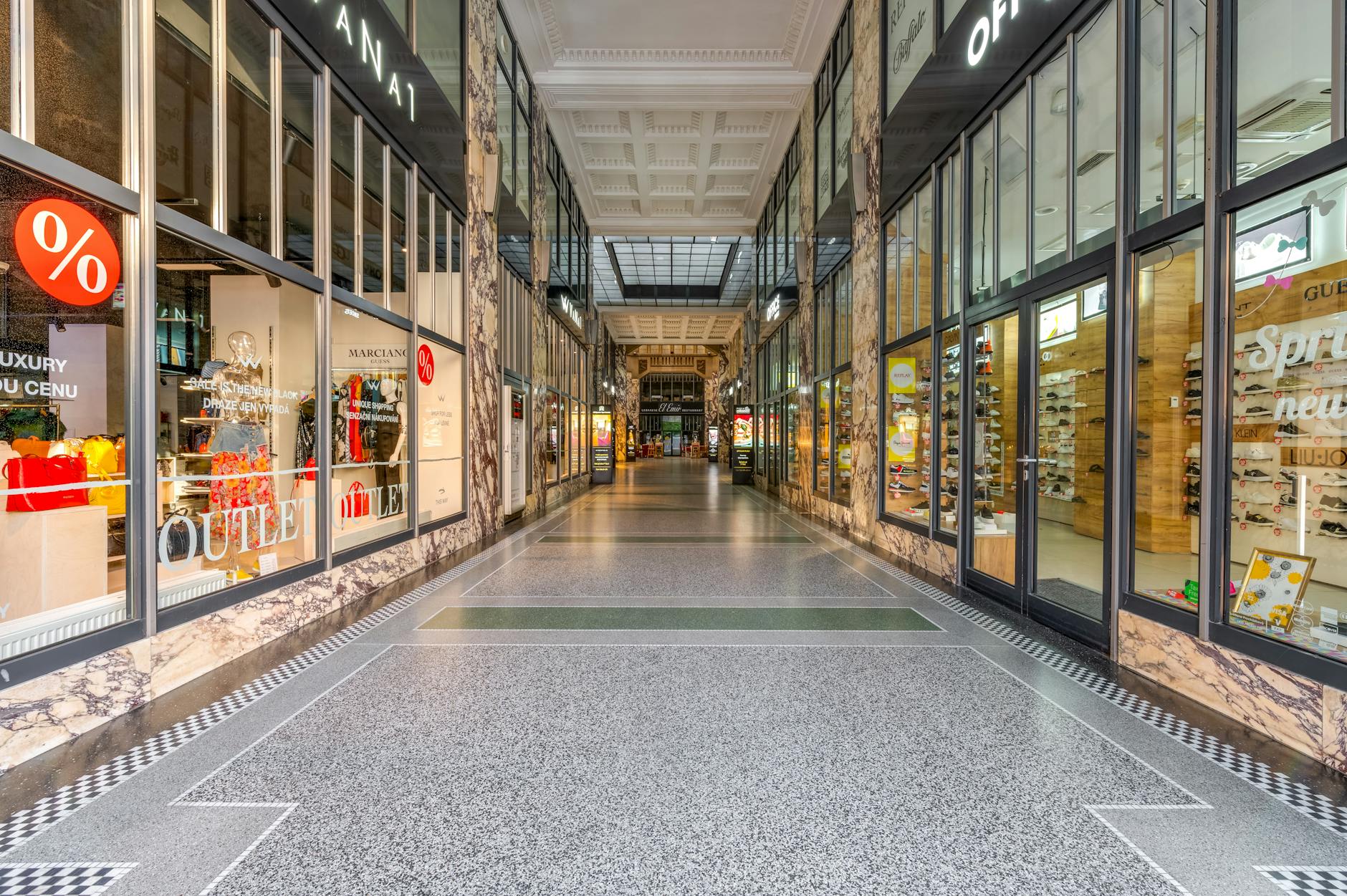
Practical tips for the Toronto PATH underground
When to go
The PATH is busiest 8–9am and 4:30–6pm Monday–Friday, when office workers commute. Weekday lunch (12–1:30pm) is also busy at food courts but easy to navigate. Evenings and weekends are nearly empty — great for tourist exploration without crowds. Note: many segments close on Sundays, so weekday or Saturday is recommended for first-time visits.
Navigation
The PATH is harder than it looks. Two strategies: (1) follow the coloured “PATH” letters in the direction you want to go; (2) use the building names as waypoints (Brookfield Place, TD Centre, First Canadian Place) — these are clearly signed and most office workers can give directions. The official PATH map (free at hotels) is the most reliable resource.
Safety
The PATH is well-lit, well-trafficked, and considered very safe. Toronto Police presence is light because crime is rare. Lost? Find any office-tower security desk; most are connected to the PATH lobby.
Accessibility
Most PATH segments are wheelchair-accessible via elevator from the surface or from each connecting subway station. Some older office towers have stair-only PATH entrances. The official PATH map marks accessibility.
The network’s southern anchor is the busiest building in the country, and if you enter the PATH from a train you will enter it here. Union handles around 300,000 people a day across GO, VIA, UP Express and the TTC, and it is organised vertically in a way that catches out almost every first-timer — down to the concourse, then up to the platforms. Our Union Station Toronto guide explains the layout and what is worth looking at while you pass through.
More of downtown Toronto to explore
The PATH connects most of the downtown retail described in our Toronto shopping guide. Pair the Toronto PATH underground with the rest of downtown Toronto: Toronto Eaton Centre guide, Hockey Hall of Fame, CN Tower tickets, luxury shopping Toronto, Toronto’s best things to do, and how to use the TTC. For winter survival, see our ice skating Toronto guide.
The Toronto PATH underground is one of the most useful — and least-known — Toronto attractions, especially during winter. Spend an hour walking from Union Station to the Eaton Centre and you’ll see why downtown Toronto runs on it.