Hiking trails Toronto offer something most major cities cannot: more than 200 km of waymarked forest trail entirely within the city limits, plus another 800 km within a 90-minute drive. The Don Valley and Humber River ravines provide a continuous wooded corridor from Lake Ontario to the northern suburbs; the Toronto section of the 900 km Bruce Trail begins in Hamilton and crosses the western edge of the GTA; Rouge National Urban Park delivers 80+ km of trails through Carolinian forest and old-growth Black Walnut groves. This guide ranks the 12 best hiking trails Toronto offers — from quick urban escapes to challenging full-day hikes — with notes on difficulty, distance, transit access, and the best season for each route.
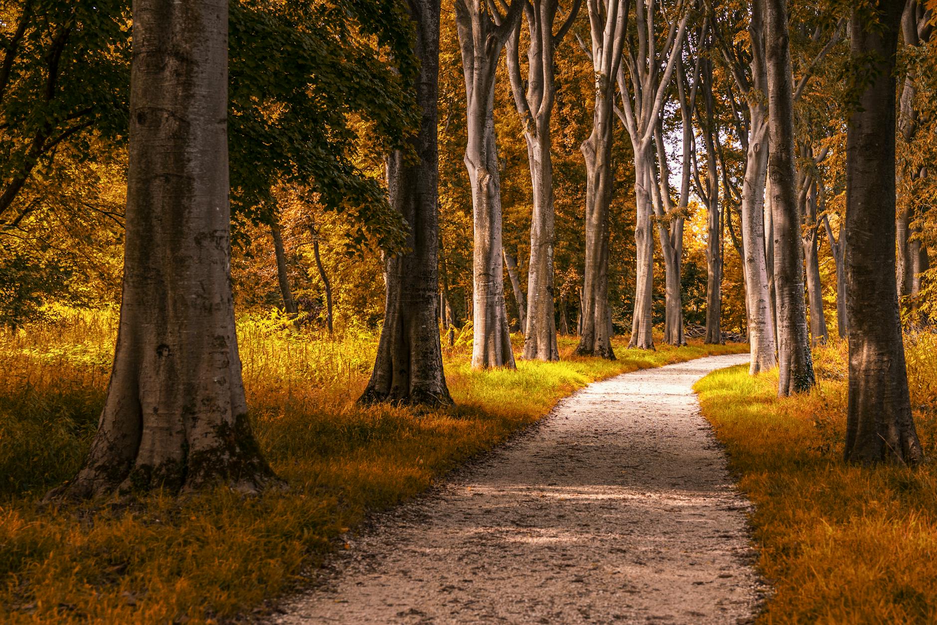
Why hiking trails Toronto are world-class
Toronto’s geological history made hiking possible: the city sits on the Iroquois Lake Plain, with deep ravines carved by the Don and Humber rivers and their tributaries. Rather than being filled in (as happened in much of Manhattan), these ravines were preserved because the slopes were too steep to develop. Today they form one of the largest urban forests in North America — 11,000+ hectares of woodland inside the city, plus a continuous trail network that follows the rivers from the lake north and east.
The result: many residents can walk from a subway station into a closed-canopy hardwood forest in 10 minutes. The Don Valley alone contains more than 50 km of paved and dirt trails; the Humber River system another 40 km; the lakefront Martin Goodman Trail another 56 km of paved waterfront path that connects the western and eastern ends of the city.
1. Don Valley Lower Trail: the urban classic
The Lower Don Valley Trail (sometimes called the Don River Trail or the Pottery Road Trail) is the city’s most-used hiking trail and the easiest entry point. The route runs 12 km from Pottery Road in the north (entrance off Bayview just south of the Don Valley Brick Works) south to the lake at the Cherry Beach junction. Mostly paved, with side dirt trails. Allow 2.5–3 hours one-way; take the TTC back. Difficulty: Easy. Closest TTC: Castle Frank (Line 2) for the northern section.
2. Humber River Trail: from lake to suburb
The Humber River Trail runs 22 km from the lake at Humber Bay Park north through Etobicoke and Vaughan, with the most beautiful section between Humber College and Old Mill Station. Highlights include the 1837 Old Mill Inn (a great pub stop), the Humber Pedestrian Bridge (a 139-metre suspended pedestrian crossing), and the Black Creek tributary trails that branch east into Vaughan. Difficulty: Easy to Moderate. Closest TTC: Old Mill (Line 2).
3. High Park trail loop: oak savannah and pond
High Park’s network of dirt trails covers more than 30 km and can be done as a 5–7 km loop hitting the Grenadier Pond, the Black Oak Savannah (one of the rarest ecosystems in Ontario), the Spring Creek Trail, and the back ravine south of the Hillside Gardens. Excellent hiking trails Toronto have for first-timers because every loop ends at a TTC station. Difficulty: Easy. Closest TTC: High Park (Line 2).
4. Rouge National Urban Park: the wild east
Rouge National Urban Park has 80+ km of marked trails — the Mast Trail (3 km loop, oldest trail in the park, designated Old-Growth Carolinian forest), the Vista Trail (4.5 km loop with the best skyline views), the Cedar Trail (2.7 km, family-friendly), and the longer Bob Hunter Memorial Trail (6 km, mostly meadow). Free admission, free parking, and the only national park in Canada accessible by city bus. See our full Rouge National Urban Park guide. Difficulty: Easy to Moderate.
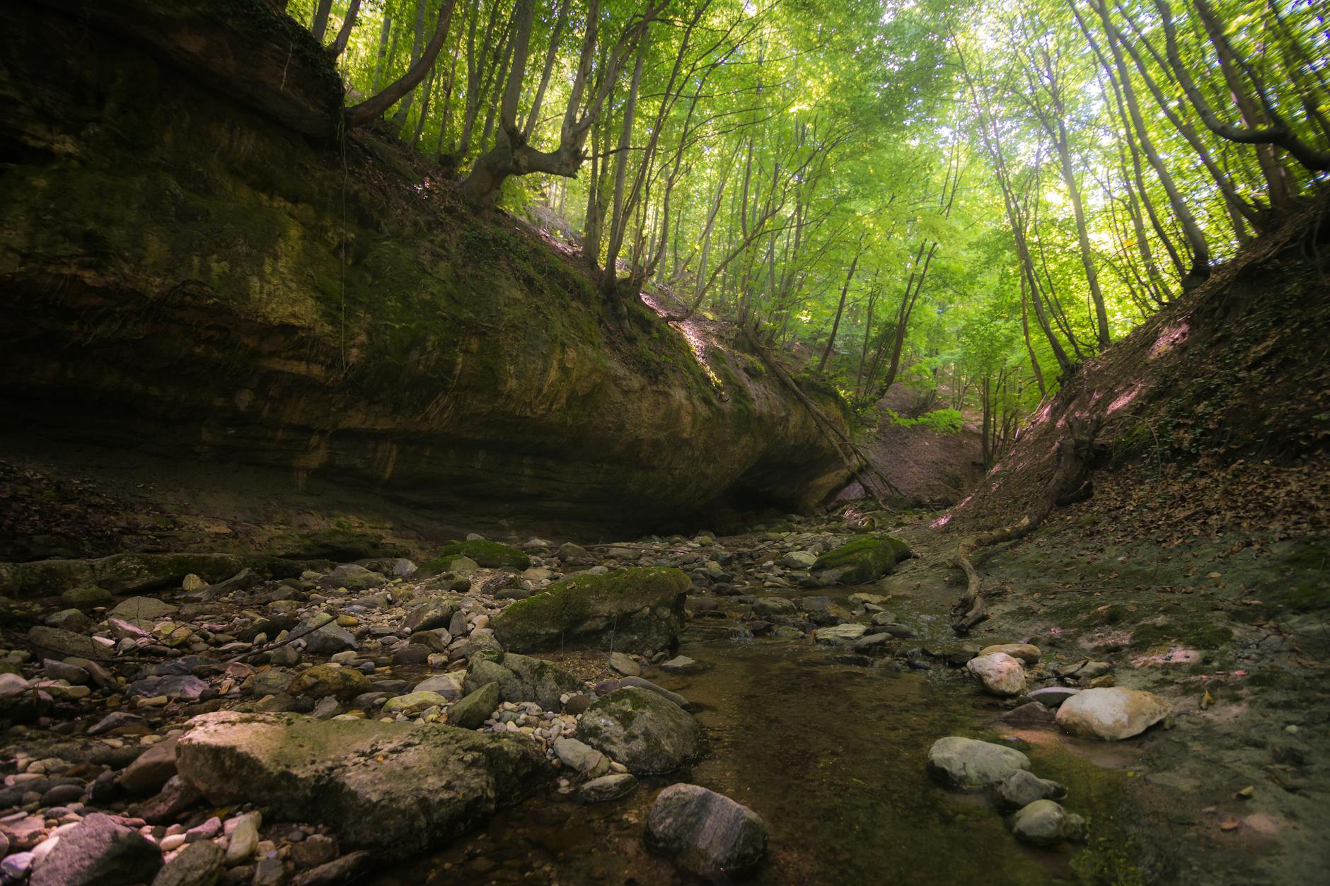
5. Beltline Trail: a 9 km railway-to-park urban hike
The Kay Gardner Beltline Trail is a 9 km former railway line turned linear park, running east-west across midtown Toronto. The trail starts at Mount Pleasant Cemetery, passes through the Moore Ravine, crosses the Beltline Bridge over the Don Valley Parkway, and continues west to Caledonia Road. Wide gravel surface, well-shaded — perfect for a 2-hour walk or a 45-minute run. Difficulty: Easy. Closest TTC: Davisville (Line 1).
6. Sunnybrook Park to Edwards Gardens: ravine connector
Connect Sunnybrook Park (1132 Leslie St) with Edwards Gardens via the Wilket Creek Trail — a 6 km out-and-back through one of Toronto’s most beautiful ravines. The trail crosses the Don River three times via wooden footbridges and passes the Sunnybrook Stables (still operating since 1875). Difficulty: Easy. Closest TTC: Eglinton (Line 1) plus 54 bus to Leslie at Sunnybrook.
7. Scarborough Bluffs Trail: lake cliffs
The Scarborough Bluffs Trail follows the top of the 90-metre clay cliffs for 14 km from Bluffer’s Park east to East Point Park. The Cathedral Bluffs section has the best views and a viewing platform; the trail down to Bluffer’s Park (650 Brimley Rd S) is steep but rewarding. Lake breezes in summer; dramatic ice formations in winter. Difficulty: Moderate. Access: Drive or 12 bus from Kennedy Station.
8. Lakeshore / Martin Goodman Trail: 56 km waterfront
The Martin Goodman Trail is the paved 56 km Lake Ontario waterfront path that runs from Etobicoke through downtown to Scarborough. It passes the Sunnyside Beach, the Toronto Music Garden, the Harbourfront, the Toronto Islands ferry, Cherry Beach, the Beaches neighbourhood, and the Bluffs. Most people do 5–10 km segments. Excellent hiking trails Toronto have for skyline photography. Difficulty: Easy.
9. Cedarvale Ravine: midtown forest
Cedarvale Ravine is a 1.5 km dirt trail through old-growth maple-beech forest in the heart of midtown, starting at Cedarvale subway station (Eglinton West) and ending at the connection to the Beltline Trail. Combine with the Beltline for a 4 km walk that feels much further from the city than it is. Difficulty: Easy.
10. Crothers Woods: technical mountain biking and hiking
Crothers Woods (40 hectares, off Beechwood Drive) is east Toronto’s wildest piece of forest — designated as an Environmentally Significant Area, it has 8 km of single-track trails used by hikers and mountain bikers alike. Steep, rooty, technical in places — the closest the city offers to a “real” forest hike. Difficulty: Moderate to Challenging. Access: Pottery Road parking lot.
11. Bruce Trail: Toronto-area sections
The Bruce Trail (Canada’s oldest marked footpath, 900 km long) crosses the western edge of the GTA. The Caledon Hills section (60 km north of Toronto) and the Iroquoia section (just west, in Hamilton/Burlington) are the closest. Highlights include the Sydenham Lookout (Halton Hills, 4 km easy), Crawford Lake to Rattlesnake Point (12 km moderate, with a meromictic lake and 100-metre cliffs), and the Hilton Falls loop. Bruce Trail Conservancy publishes detailed maps. Difficulty: Moderate to Challenging. Access: Car required.
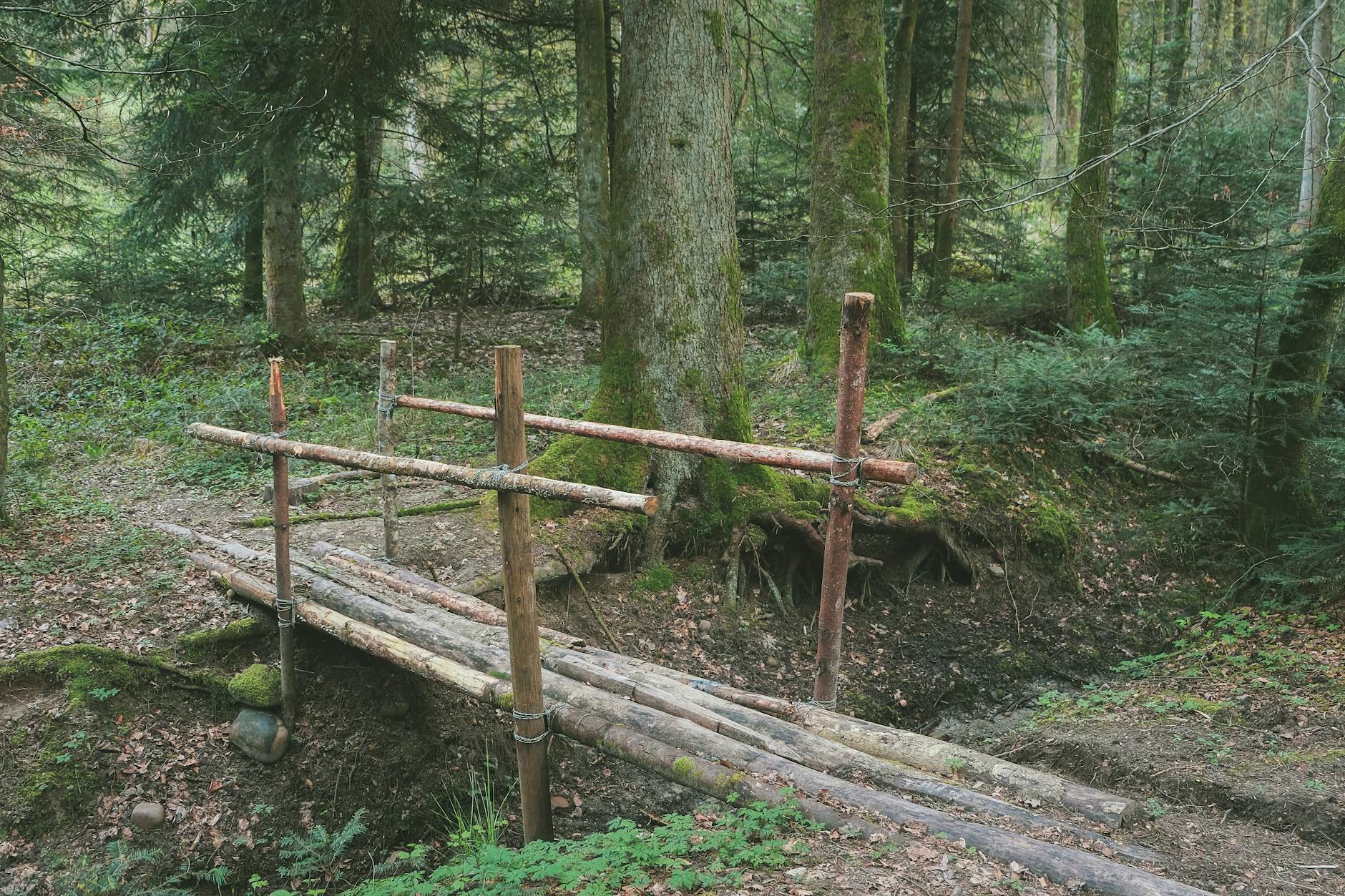
12. Niagara Glen: 4 km of riverside scrambling
Niagara Glen (Niagara Parkway, 130 km south of Toronto) is the best half-day hike within easy striking distance. The 4 km loop drops 200 metres down into the Niagara River gorge via a metal staircase, then traces the river along boulder-strewn paths through old-growth Carolinian forest. The class III rapids run alongside the trail. Difficulty: Moderate. Combine with our Niagara Falls from Toronto guide for a full day.
Practical tips for hiking trails Toronto
When to go
April through November is the prime hiking season. Spring wildflowers peak in early May (trillium, bloodroot, hepatica). Fall foliage typically peaks October 10–25 in the GTA. Winter hiking is excellent on the paved trails (Beltline, Martin Goodman, paved sections of the Don Valley) but unpaved ravine trails get muddy. Mosquitoes and ticks are most active June–August.
What to bring
Sturdy walking shoes are sufficient for most trails; lightweight hiking boots help on the Bruce Trail and Crothers Woods. Bring water (1L per 2 hours), a basic first aid kit, sunscreen, and bug spray May–September. Cell coverage is good across all city trails but inconsistent in Caledon Hills and parts of the Bruce Trail.
Trail maps
The City of Toronto publishes free PDF trail maps at toronto.ca/parks. AllTrails and Strava both have excellent crowd-sourced trail data. The Bruce Trail Conservancy sells the definitive guidebook.
Internal links: build your Toronto outdoor itinerary
Pair hiking with the rest of Toronto’s outdoors: best parks in Toronto, Rouge National Urban Park guide, Toronto Islands guide, walking in Toronto, Bike Share Toronto, and things to do in Toronto. For lake-based outdoor fun, see our kayaking Toronto guide and Toronto beaches guide.
Hiking trails Toronto offer some of the best urban-forest hiking on the continent — pick a 5 km route, pack a sandwich, and you’ll see a side of the city that almost no visitor ever does.